Skip to content
Menu
Follow Us On Substack
Google News
Twitter/X
FaceBook
Bluesky
Our Bloggers
Search
goddard space flight center
NASA: Vitamin B3 Might Have Been Made in Space, Delivered by Meteorites
ScienceBlog.com
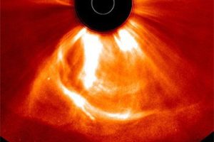
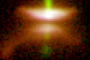
Earth nearly got fried by Sun discharge in July 2012
ScienceBlog.com
New Satellite Movie Shows Massive Eastern U.S. Cool Down
ScienceBlog.com
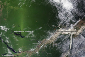
NASA Study Points to Infrared-Herring in Apparent Amazon Green-Up
ScienceBlog.com
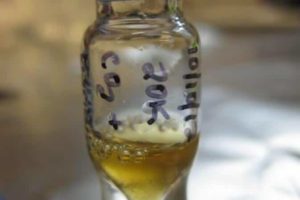
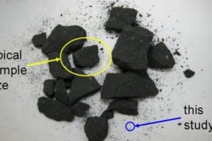
New Technique Could Be Used to Search Space Dust for Life’s Ingredients
ScienceBlog.com
What your company can learn from NASA’s tragedies
ScienceBlog.com
NASA-Sponsored ‘Disk Detective’ Lets Public Search for New Planetary Nurseries
ScienceBlog.com
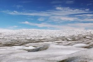
Greenland ice sheet stores liquid water year-round
ScienceBlog.com
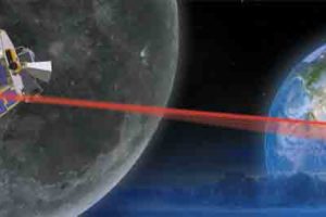
Laser Demonstration Reveals Bright Future for Space Communication
ScienceBlog.com
NASA Curiosity Rover Detects No Methane on Mars
ScienceBlog.com
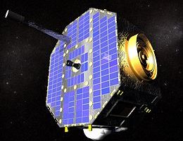
IBEX tracks interstellar winds buffeting our solar system
ScienceBlog.com
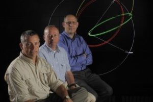
New Explorer mission chooses the ‘just-right’ orbit
ScienceBlog.com
Older posts
Page
1
Page
2
…
Page
6
Next
→
×