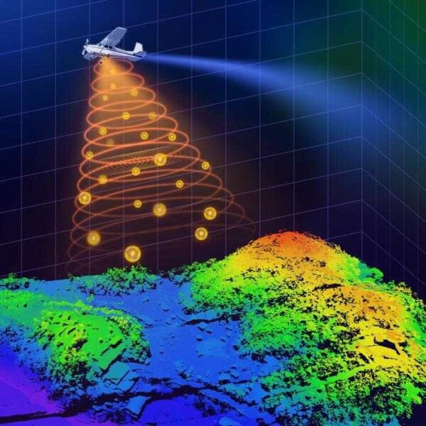
Researchers have created a small, lightweight lidar system that can capture highly detailed 3D images using a low-power laser. This development could make single-photon lidar more practical for use in drones and satellites for applications like environmental monitoring, terrain mapping, and identifying objects.
Single-photon lidar measures how long it takes laser pulses to travel to objects and back, allowing for precise 3D mapping even in challenging areas like dense forests or cities. However, using this technology on drones or satellites with limited resources requires shrinking the system and reducing its power usage.
Achieving High Resolution with Low Power
“We were able to incorporate recent technology developments into a system that, in comparison to other state-of-the-art airborne lidar systems, employs the lowest laser power and the smallest optical aperture while still maintaining good performance in terms of detection range and imaging resolution,” said Feihu Xu from the University of Science and Technology of China, a member of the research team.
The researchers demonstrated that their system can achieve a resolution higher than the diffraction limit of light by using sub-pixel scanning and a new 3D deconvolution algorithm. They also showed the system’s ability to capture high-resolution 3D images during the day over large areas while mounted on a small plane.
Potential Applications and Future Improvements
“Ultimately, our work has the potential to enhance our understanding of the world around us and contribute to a more sustainable and informed future for all,” said Xu. “For example, our system could be deployed on drones or small satellites to monitor changes in forest landscapes, such as deforestation or other impacts on forest health. It could also be used after earthquakes to generate 3D terrain maps that could help assess the extent of damage and guide rescue teams, potentially saving lives.”
The team is now working on improving the system’s performance, integration, stability, durability, and cost-effectiveness with the long-term goal of installing it on a small satellite. Further enhancements are needed before the system can be commercialized.


