

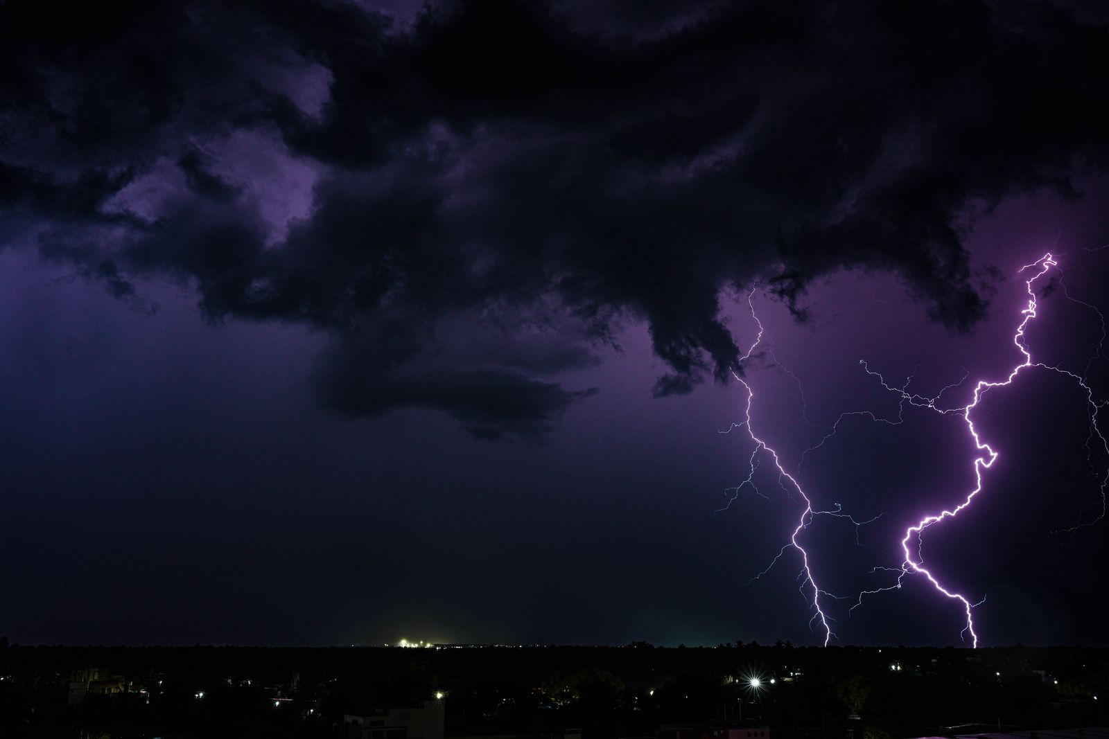
On the night of 22 October 2017, a single stroke of lightning tore across the sky above the American Midwest and kept going. It began over eastern Texas and traveled all the way to near Kansas City, Missouri — an incredible 829 kilometres from start to finish, all in one continuous flash. The World Meteorological Organization (WMO) has officially certified it as the longest lightning flash ever recorded on Earth.
That distance is roughly the straight-line span from Washington, D.C. to Detroit, or from Paris to Venice. One bolt. One flash. One sky.

What a normal lightning bolt looks like next to this one
An ordinary lightning strike is a local event. Randall Cerveny of Arizona State University, who serves as chief of records confirmation for the WMO, put the baseline plainly: most bolts travel less than 16 kilometres and last under a second.
The record-breaking megaflash was roughly 51 times longer than that.
Picture a bolt that begins as your plane pushes back from the gate at London Heathrow and is still branching through cloud when the plane reaches cruising altitude over Germany. The physics are the same as a backyard thunderclap. The scale is not.
The storm that made it
Megaflashes need a very particular kind of weather system: a Mesoscale Convective System, or MCS. These are sprawling thunderstorm complexes, often hundreds of kilometres across, in which many individual storm cells merge into a single organised sheet of electrified cloud. The anvil tops spread out at high altitude and stay connected long enough for a single discharge to bridge one end of the complex to the other.
The storm systems that produce these are absolute monsters. Satellite imagery from the U.S. National Oceanic and Atmospheric Administration (NOAA) routinely shows the thunderstorm complexes sprawling across the U.S. South and Plains, their cloud shields spanning multiple states.
Cerveny has said only a handful of places on Earth reliably produce MCS systems large and stable enough to host megaflashes. The U.S. Great Plains and Gulf Coast are one. The La Plata Basin of South America — covering parts of Argentina, Uruguay, and Paraguay — is the other.
How you measure a bolt from space
You cannot measure an 829-kilometre flash from the ground. No single weather station sees enough sky. The record exists because of instruments looking down.
The key hardware is the Geostationary Lightning Mapper, or GLM, aboard NOAA’s GOES-16 satellite. The GLM stares continuously at the Western Hemisphere from geostationary orbit, and it records the optical signature of every flash beneath it in near-real time.
That capability is what let researchers reconstruct extreme flashes frame by frame. Before geostationary lightning mappers came online in the late 2010s, ground-based networks would have logged these massive strikes as a scatter of separate detections. Only from orbit do they resolve into single, continuous bolts.
Why this beat the old records
The 2017 super-bolt was identified via a recent deep-dive reanalysis of satellite data, officially breaking the previous record-holder: a 768-kilometre megaflash that lit up Texas, Louisiana, and Mississippi on 29 April 2020. That 2020 bolt had itself broken an earlier 709-kilometre record from Brazil. The newly verified 2017 flash beat the 2020 benchmark by 61 kilometres — reaching 515 miles compared to the 2020 flash’s 477.2 miles.
Meanwhile, the duration record remains in South America. A flash over Uruguay and northern Argentina in June 2020 lasted an astonishing 17.1 seconds. These extreme records are evaluated by the WMO and published in the Bulletin of the American Meteorological Society.
Cerveny has been clear that this is a story about detection catching up with reality. In statements surrounding these monumental atmospheric announcements, he noted it is highly likely that even greater extremes exist, and that lightning detection technology will eventually observe them. In other words: bigger bolts are almost certainly out there. Cameras just have to be pointed at the right storm.
Was anyone in danger?
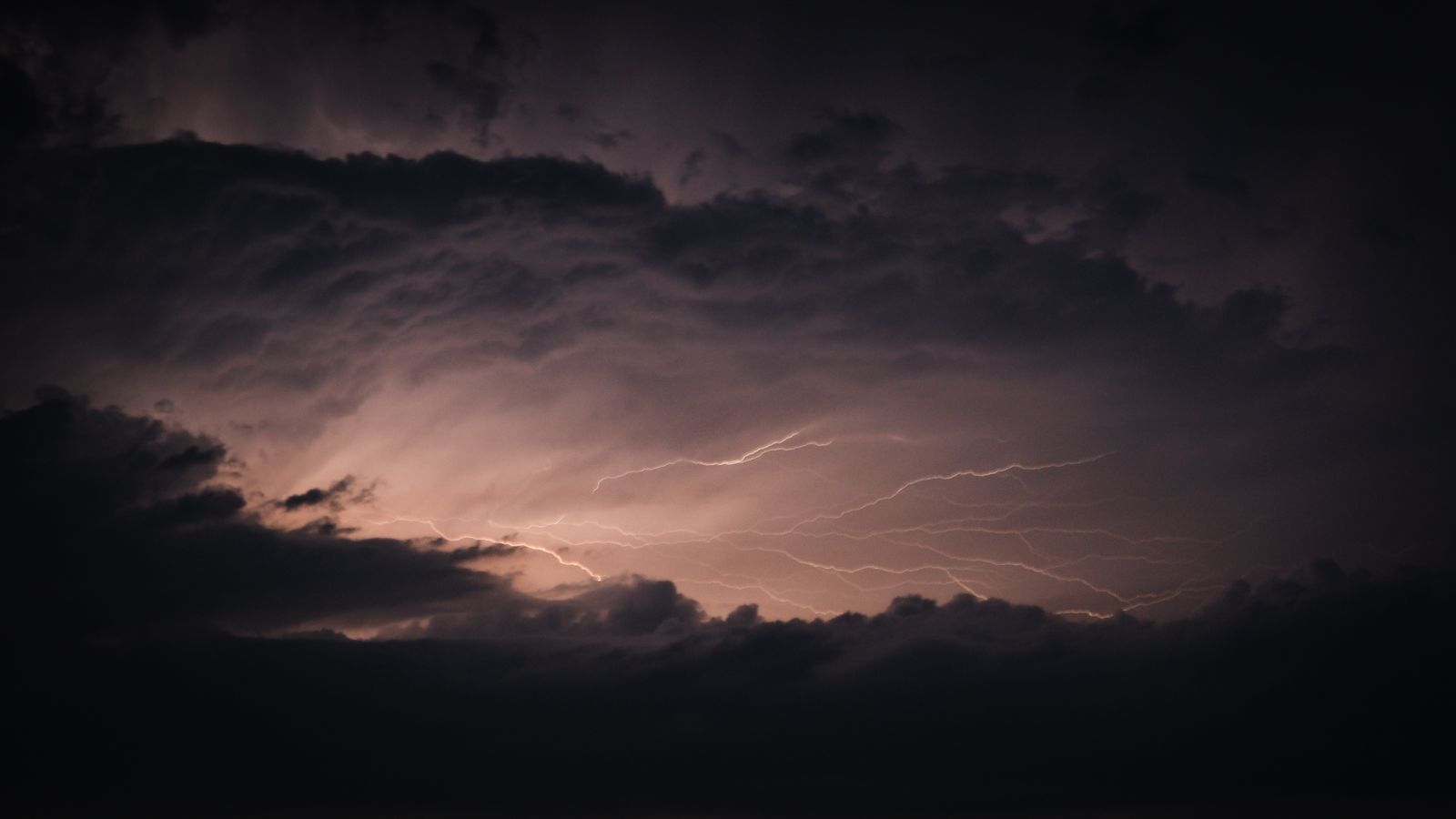
No. These record-breaking distance megaflashes are almost exclusively cloud-to-cloud events. They travel horizontally through the anvil tops of massive storm systems, several thousand feet above the surface, discharging between regions of separated charge inside the cloud shield rather than striking the ground directly.
That said, the WMO uses these findings to highlight an important public-safety point. If a single flash can travel the length of a small country inside a cloud, the old rule of thumb — that you are safe from a storm once it is over the horizon — needs revising. Charge can bridge from an active cell to a cloud that looks harmless from the ground below it. Even the previous 2020 flash data forced meteorologists to acknowledge the immense boundaries over which modern lightning can travel.
The practical guidance from meteorologists has tightened as a result: if you can still hear thunder — even faint, distant thunder — you are still within reach of a bolt that decides to reach.
Where megaflashes live
Megaflashes are not evenly distributed. They cluster in the two big MCS zones: the U.S. Great Plains stretching down to the Gulf, and the La Plata Basin in South America. Both regions sit at latitudes where warm, moisture-laden air routinely collides with dry continental air masses, producing storm complexes hundreds of kilometres wide that can persist for many hours.
There is a separate class of extreme lightning that lives elsewhere. “Superbolts” — flashes hundreds of times more energetic than a typical strike — cluster over the North Atlantic and the Mediterranean. Those are a different beast: rare, high-energy, and often oceanic. The American records are not about raw power. It is about horizontal reach.
What the record actually means
Cerveny described these events as extraordinary records from single lightning flash events and credited scientific progress for making such assessments possible. That framing matters. The megaflashes are not proof that storms are getting bigger — the WMO has been careful to say the records are not linked to climate change. It was proof that instruments finally caught something the atmosphere has probably been doing for a very long time.
Meteorologists have called the phenomena absolutely extraordinary. That is the correct register. Not alarming. Not apocalyptic. Just extraordinary — a thing the sky can do, that no one had ever measured before.
Bigger bolts, coming
The GLM instruments on modern geostationary satellites have been operational since the late 2010s. Additional years of coverage add more chances to catch a flash even bigger than 829 kilometres.
Cerveny expects the record to fall eventually. The atmosphere does not care about round numbers, and the biggest MCS complexes over the Great Plains and La Plata Basin routinely span more sky than a single 829-kilometre channel can cover. The physics permits longer. The instruments will eventually see one.
Until then, the reigning champion is a single crackle of ionised air that on an October night in 2017 reached across the American heartland, lighting up a historic expanse of sky before letting the darkness settle back in.