

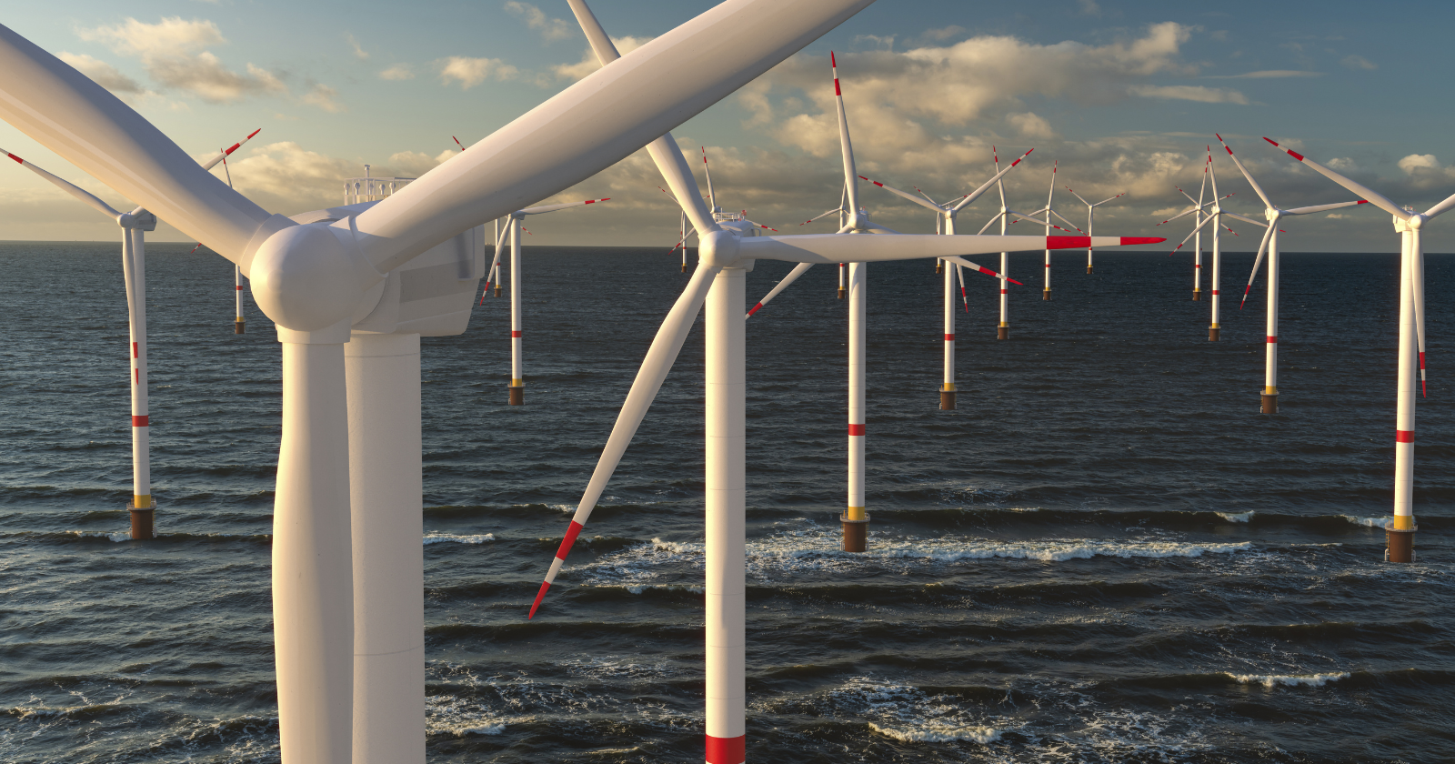
Off the coast of Margate, Kent, 100 turbines turn inside the Thanet Offshore Wind Farm, a 300-megawatt array built in 2010 about 12 kilometers from shore.
For nearly two years, cameras bolted to two of those turbines recorded almost every bird that came close enough to matter, producing one of the largest camera-based datasets ever assembled on how seabirds behave around offshore turbines. The results, published in the final report of the Offshore Renewables Joint Industry Programme’s Bird Collision Avoidance (BCA) Study, found six recorded collisions across a combined 606,554 processed videos, and every one of them happened in daylight. The study, authored by researchers at the environmental consultancies DHI and NIRAS Consulting and coordinated by the Carbon Trust under ORJIP, ran field operations from July 2014 to June 2016. It was funded by eleven offshore wind developers together with UK government support, an unusually broad industry commitment for a single environmental monitoring project.
Thanet was chosen because it was considered representative of the UK’s “Round 3” wind farm developments and because post-construction surveys had already shown a strong presence of the five seabird species the study wanted to track: northern gannet, herring gull, lesser black-backed gull, great black-backed gull, and black-legged kittiwake.
How the cameras worked
Two of Thanet’s turbines, labeled F04 and D05, were fitted with a combination of automated LAWR radar and Thermal Animal Detection System (TADS) cameras. The radar scanned continuously and flagged potential bird movement near the turbine; each flag triggered the camera to record and track the detected object. Two other turbines in the array carried separate equipment — SCANTER radar, laser rangefinders, and human observers — used to study how birds redistributed around the wind farm at a larger scale, but those turbines had no cameras and played no role in the collision count.
The camera-and-radar system on F04 and D05 processed 558,554 daylight videos over the monitoring period. Because the radar relied on a magnetron system sensitive to wave and rain clutter, most of those recordings were false triggers with no bird present: according to the report, only about 2 percent of daylight videos actually showed a bird. The report’s headline figure for daylight videos containing bird activity is 12,131, drawn from its executive summary (a separate table in the same report lists 12,623 for the identical category, a discrepancy the document does not reconcile).
What the daylight footage showed
Researchers used the video record to measure what they called “meso avoidance” (birds changing course to avoid a turbine’s rotor-swept zone from a distance) and “micro avoidance” (last-moment adjustments once a bird was already close to the spinning blades). Of 299 videos showing birds recorded within the rotor-swept zone, including a 10-meter buffer around it, only six ended in a collision. The calculated micro avoidance rate — the proportion of birds that took evasive action instead of colliding — came out to roughly 0.95, or about 95 percent, for seabirds as a group, and slightly higher for large gulls specifically.
Most birds that entered the rotor zone were seen adjusting their flight path or moving parallel to the blades instead of crossing through them; only 15 recorded instances showed a bird crossing perpendicular to a spinning rotor, the flight pattern the report identifies as carrying the highest collision risk.
The six collisions
Every documented strike happened between November 2014 and February 2016, and each was captured by the TADS cameras mounted on F04 or D05 — though the report’s own collision table records the birds actually striking a neighboring turbine’s rotor in most cases, not the camera turbine itself.
The recorded incidents involved an adult black-legged kittiwake that struck turbine F03 on November 1, 2014, filmed by the F04 camera, after hovering and repeatedly adjusting its approach near the rotor zone; a lesser or great black-backed gull that struck turbine D06 on November 24, 2014, filmed by the D05 camera, following back-and-forth movement between two turbines’ rotor zones; and four further gull collisions filmed by the D05 camera — two involving large gulls and two involving gulls not identified to species — at turbines D06 (three instances) and D04 (one instance) between November 28, 2014, and February 10, 2016, most described in the report as the bird dropping from the rotor area toward the sea.
Altitudes at the moment of collision ranged from 30 to 120 meters, and wind speeds at the time ranged from about 5 to 8 meters per second. All six occurred during periods when the rotor was confirmed spinning, and all were recorded during daylight hours, when the camera system’s detection was most reliable.
Almost nothing happened at night
The report’s night-time results reinforce that daylight bias, though with an important caveat about how much data was actually reviewed. The cameras and radar collected 459,164 videos during night-time hours over the monitoring period — considerably more raw footage than during the day — but researchers were only able to fully process a sample of 48,000 of them, given the labor involved in reviewing low-visibility infrared and low-light recordings. Of that 48,000-video sample, just 0.2 percent, or 76 videos, showed any bird activity at all, and none of the six collisions in the dataset occurred at night. Based on that sample, the report estimates nocturnal flight activity by the target species at roughly 3 percent of total activity, suggesting collision risk is markedly lower after dark — though the authors are explicit that the smaller, unprocessed portion of night footage limits how confidently that finding can be generalized.
Why the numbers matter for wind farm planning
The study’s stated purpose was not simply to count collisions but to improve the “avoidance rates” used in collision risk models, the standard tool regulators and developers use to estimate, before a wind farm is even built, how many birds might be killed by mixing turbine specifications with local bird density and flight data. Those pre-construction estimates have historically leaned on avoidance rates borrowed from onshore wind studies or from simplified assumptions about how birds fly. The ORJIP report argues that its empirically measured avoidance rates, both at the meso and micro scale, were higher than the assumptions typically used in those models, meaning standard risk assessments may have overstated collision risk at some sites.
Following the report’s 2018 publication, coverage in outlets such as Power Technology and Windpower Engineering summarized the finding as showing seabird collision risk running at less than half of prior model predictions. Vattenfall, which owns Thanet, framed the results as validation of a cautious industry approach. “The positive results have shown that, in fact, our approach as an industry has been very cautious,” said Helen Jameson, a senior project manager at Vattenfall, in a company statement following the report’s release. Piers Guy, the company’s UK country manager at the time, called the study “a significant step forward in our understanding of the way in which seabirds avoid offshore wind turbines,” according to the same Vattenfall newsroom release. The report itself is more measured about how far its findings travel. Its authors note that the data come from a single wind farm, largely during daylight and calm-weather conditions, and caution that regulatory bodies should weigh the findings carefully and not treat them as a universal substitute for site-specific assessment.
Bird identification also grew less reliable at distance — the report estimates roughly 46 percent of radar-tracked birds beyond 1.5 to 2 kilometers could not be identified to species — and the small number of recorded collisions, six events across two years, makes statistical generalization inherently limited. The underlying dataset has since been made publicly available through the Crown Estate’s Marine Data Exchange, allowing other researchers to reanalyze the raw video-derived data independently.