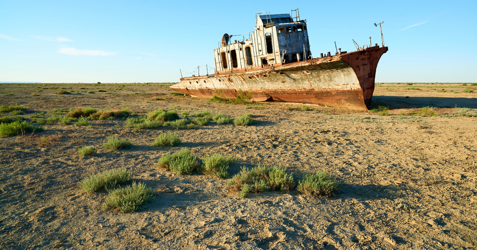
Soviet hydrologists ran the numbers before the first canal was cut, and they said the sea would die.
They signed off anyway. Cotton earned foreign currency, and a large salty lake sitting in the middle of a desert earned nothing that showed up in a five-year plan. So the Amu Darya and the Syr Darya, two rivers fed by snowmelt from mountains hundreds of kilometres away, were tapped and bled out across the sand. NASA’s Earth Observatory frames the trade in a single line: transforming the desert into farmland doomed the lake it used to feed.
What the planners actually expected
Central Asia was picked as the Soviet cotton supplier in 1959, and the scale of the plan was unlike anything attempted in the region before. Both feeder rivers were harnessed to float it. An account in the UN Chronicle records the detail that rarely makes the caption under the famous photographs: Soviet scientists understood that withdrawals on that scale would send the lake level plummeting. Their bet was that the exposed seabed would bake into a hard crust, sealing the salts underneath and keeping the damage local.
The crust never formed.
The Aral Sea’s disappearance didn’t stay a Central Asian story — the same slow-motion mistake is now unfolding at Salt Lake City, where a shrinking lake threatens to send toxic dust into the air of a major American city. For the fuller picture of how a lake this size vanishes, and what it leaves behind, take a few minutes to watch this video on This Is Earth channel:
Salt goes travelling
“Among all of these serious problems, the most serious is the health problem,” Aksoltan Ataeva, then Turkmenistan’s representative to the United Nations, told the UN Chronicle. She was talking about the salt left behind as the sea retreated. The dry seabed turned into a dispenser for sodium chloride, sodium sulfate, magnesium chloride and decades of fertiliser and pesticide residue, carried out on the wind.
Philip Micklin, the Western Michigan University geographer who has tracked the lake longer than almost anyone, documented Aral salt landing a thousand kilometres away in the Ferghana valley, in Georgia, and along the Arctic coast of the former Soviet Union. The same Chronicle piece notes that later reports placed it in the Himalayan peaks too.
By 2010, Micklin’s accounting had the lake down 88 per cent in surface area and 92 per cent in volume, figures published by NASA alongside the satellite sequence that made the collapse famous. A body of water big enough to support canneries, ports and a commercial fishing fleet had been converted into weather.
One corner bought back
Aralsk’s waterfront used to retreat by the year. In 2005 it stopped. That year Kazakhstan finished the Kok-Aral dam, a thirteen-kilometre barrier across the strait that had been letting water from the Syr Darya drain south into a basin nobody was going to refill.
Reporting for Eurasianet, Aliya Uteuova found the $86 million scheme delivered on most of its promises: the northern lake rose four metres and its salinity fell by half, according to World Bank numbers. Open water crept back to within about fifty kilometres of Aralsk, down from the seventy-five kilometre gap the town had measured before the dam. Pike perch and carp returned in commercial numbers, and fishing is again the main livelihood in towns nearest the shore. “The Kok-Aral dam brought back jobs to the region,” Zauresh Alimbetova, who runs the nearby Barsakelmes wildlife refuge, told Uteuova.
Nothing comparable has happened in the south.
The Amu Darya still waters Uzbek cotton before it waters anything else, and what remains of the southern basin has come apart. Comparing satellite imagery across two decades, the European Space Agency found the eastern lobe had all but vanished.
Planting a forest on a seabed
Uzbekistan shifted its ambition from refilling the lake to pinning the dust down. Saxaul is the plant of choice, a scrubby desert shrub with roots reaching ten to fifteen metres and a knack for trapping migrating sand around its base. Officials from the Uzbek Forestry Agency told Mongabay that 1.7 million hectares of planting had taken hold on the dried bed over five years, with seed scattered from aircraft and saplings dug in by tractor and by hand.
Whether any of it lives depends on rain. Turaxon Ziyotov of the Forest Research Institute in Tashkent told the same publication that a wet year carries 50 to 70 per cent of saplings through, and a dry one closer to 30 per cent.
Scale is the harder problem. A crowdfunded UNDP planting initiative has put 823,000 trees into 658 hectares since 2020, a number that sounds enormous until it is set beside the 2.7 million hectares of dried seabed on the Uzbek side alone. Both figures are accurate. Only one of them is the size of the job.
The trawlers at Moynaq are what end up in the photographs, rusting on white salt more than a hundred kilometres from open water, standing in as a monument to something already finished. The canals are still running. The cotton is still growing. And somewhere a committee is presumably approving a project with its own crust theory attached, reassured by people who have also done the maths.