

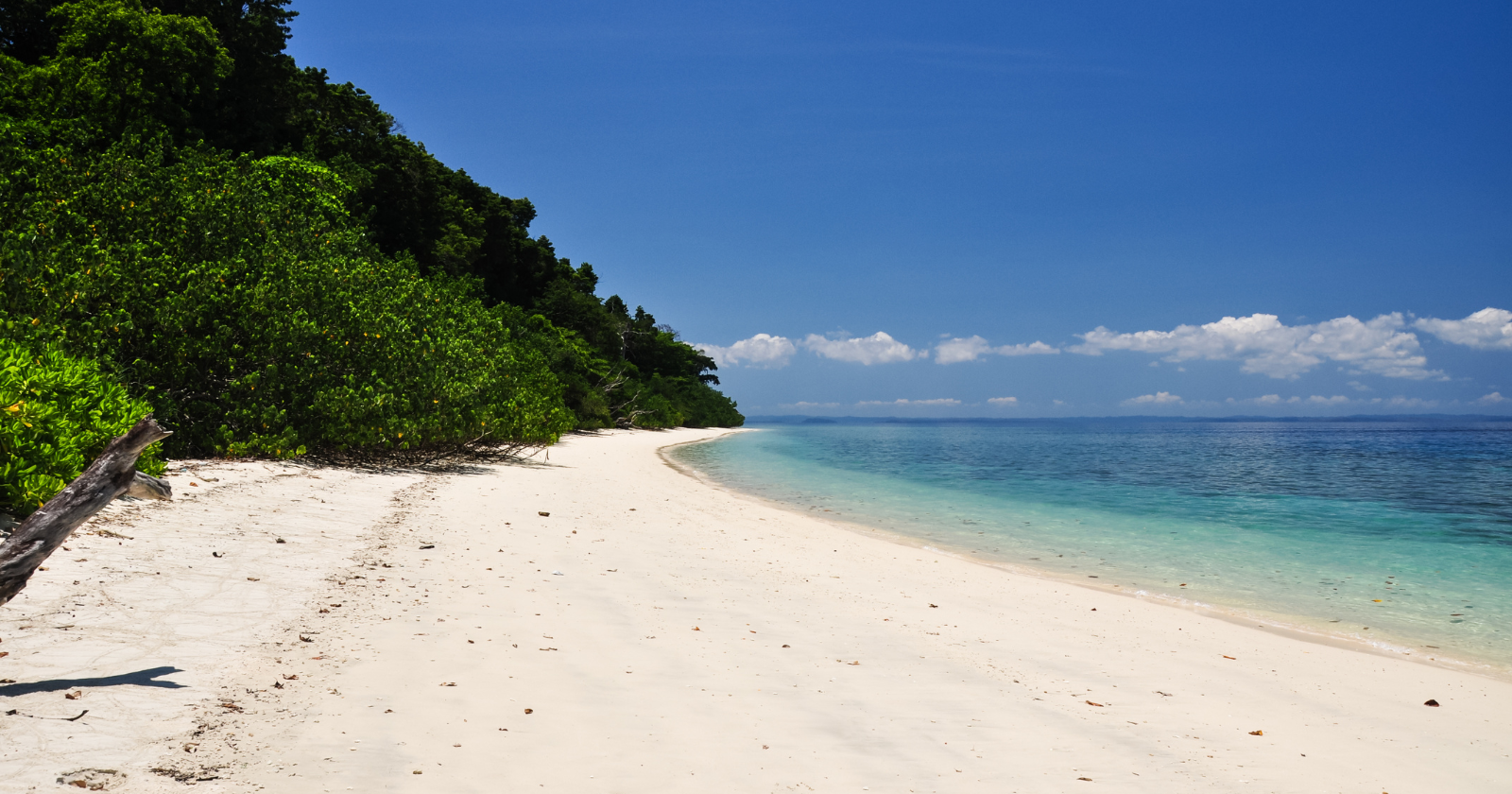
Picture the view from the cockpit two days after the water came. The Andaman Sea is still churning. Coastlines have shifted. An Indian Coast Guard helicopter is flying a damage survey over a stretch of ocean where no one on the ground can be reached by radio or road. Below sits a small forested island ringed by reef, home to people who have refused outside contact for as long as anyone has tried to make it.
The crew’s question was simple and grim: is anyone still alive down there?
The answer arrived as a single arrow. Anil Thapliyal, a commander in the Indian Coast Guard, described what the overflight found: “There was a naked Sentinelese man. He came out and shot an arrow at the helicopter.”
That was the whole message. No count of the living, no sign of the dead. Just one man, one bow, and a gesture that told the world the Sentinelese had come through a disaster that killed hundreds of thousands of people around the Indian Ocean.
An earthquake that moved the coastline
The event underneath all of this was the magnitude 9.1-plus Sumatra-Andaman earthquake on 26 December 2004. Satellite mapping later showed the fault tore open along nearly 1,600 kilometres, and that rupture generated the tsunamis that did most of the killing. It also did something slower and permanent. Some places dropped. Others were shoved upward.
North Sentinel Island sat in the zone that rose. NASA’s Jet Propulsion Laboratory noted that “observations from an Indian Coast Guard helicopter on the northwest coast of the island suggest that the actual uplift is on the order of 1 to 2 meters at this site.” That “suggest” is worth keeping. This was an estimate pieced together from helicopter views and satellite images, not a survey team standing on the beach with instruments. The smallest rise measured from imagery alone was about 30 centimetres, with the higher figure coming from the air.
The contrast down the island chain sharpens the picture. While North Sentinel rose, the South Andaman and Nicobar Islands sank by an estimated one to four metres. The same fault that lifted one island out of the sea pushed others down into it.
The mapping came from a team including Caltech’s Aron Meltzner, who used satellite data to trace the rupture by finding where reefs and coastlines had risen or fallen. On North Sentinel the sign was clear from space: newly exposed reef showing up bright white in the imagery, coral that used to be underwater now baking in the sun.
A reef lifted out of the water
That bright white ring is the second half of what the quake did to the island. The uplift did not just raise the land, it drained the shallows.
The European Space Agency described it plainly: “The formerly submerged coral reefs that ring North Sentinel Island are now exposed to the surface, as the entire North Andamans group has experienced tectonic uplift.” NASA’s helicopter estimate and ESA’s satellite view broadly agree on the direction and rough scale of the change, which is reassuring given they came at it from different angles.
A reef above the tideline is a coastline redrawn. The island gained a fringe of new, dead-coral shore, and the shallow lagoon waters the islanders would have fished were pushed out or lost. ESA’s feature notes that shallow fishing grounds disappeared on all but the eastern side of the island. Whatever the Sentinelese knew about where the fish were, some of that map stopped being true overnight.
How a people rode it out
Here is where honesty matters more than a clean story. We do not know exactly how the Sentinelese survived, and neither, really, do the scientists.
The best available reading is careful. ESA’s own feature put it this way: post-tsunami surveys “suggest the tribe survived the disaster intact, perhaps retreating from the shore well before the waves hit.” Two hedges in one sentence, “suggest” and “perhaps,” and both belong there. The same page is blunt that there is no way to talk to the islanders and know for certain.
The arrow as the whole message
What is strange, looking back, is how completely that one arrow stood in for everything we were allowed to learn. There was no census, no landing, no count of survivors. The confirmation was a refusal: an islander running onto the sand to warn off the machine in the sky. That refusal was read as proof of life.
The historian Adam Goodheart, who wrote a book about the island, captures how closed this world is. Writing for National Geographic, he put it like this: “No one but its islanders knows what language they speak, what laws might govern them, what god they might worship.” Against that, the arrow reads less as hostility than as a boundary being drawn. Goodheart’s own reading, across decades of documented encounters, is that they have “communicated one message loud and clear: Let us be.” That is his interpretation of their behaviour, not their words, but it is hard to argue with the pattern.
We would resist the pull to build a whole personality out of one incident. The man on the beach was answering a helicopter in the days after a catastrophe, not delivering a doctrine. What the moment reliably tells us is narrow and real: someone was alive, someone was strong enough to draw a bow, and someone still did not want company.
Everything we have from this episode arrived from a distance. The uplift figure came from a helicopter and was confirmed from orbit. The exposed reef showed up as a bright ring in satellite images. The proof that the people were alive came from an aircraft they were trying to drive away. Every instrument in the story looked down, and the one signal that came up from the ground was a message telling us to keep our distance.