

Six thousand years ago, a hippo could have wallowed in a lake in what is now central Algeria. Cattle herders drove their animals across grasslands that are now dune fields. Crocodiles lived in rivers that no longer exist. We know this because the people who watched them painted them on sandstone, and the paintings are still there.
The Tassili n’Ajjer plateau in southeastern Algeria holds thousands of rock engravings and paintings spanning thousands of years. They show elephants, giraffes, rhinoceros, hippos, and long-horned cattle being herded by human figures. The plateau today is one of the driest places on Earth. The rock art depicts a world that no longer exists, and its accuracy is not in doubt: sediment cores from lake beds and marine deposits off the West African coast confirm that the animals were really there.

What the sediment cores actually show
The period is called the African Humid Period, or the Green Sahara. It ran, roughly, from about 11,000 to 5,000 years ago. During those millennia, monsoon rains reached far north of their current limit, and the region we now call the Sahara supported wooded savannah, seasonal wetlands, and a network of rivers and lakes across what is now Libya, Niger, Chad, and Mali.
The evidence is not one line of proof but several stacked on top of each other. Marine sediment cores off the coast of West Africa record windblown dust from the Sahara. During the humid period, dust levels drop sharply, meaning less bare ground and more vegetation. Lake sediments preserve pollen from grasses and trees that cannot grow there now. Fossil bones of hippos and crocodiles have been recovered from what are now dry wadis. And the rock art, as the climate modellers and anthropologists who study the region have pointed out, functions as a kind of visual field guide to species that once ranged across the Sahara.
This was not a one-off event. Working from marine and lake sediments, researchers have counted more than 230 separate greenings over the past eight million years, arriving at intervals of roughly 21,000 years.
Why the Sahara greens on a 21,000-year clock
The rhythm matches one of the Milankovitch cycles: the precession of Earth’s axis, the slow wobble that shifts which hemisphere leans toward the sun during which season. On a 21,000-year cycle, precession brings the Northern Hemisphere closer to the sun during summer. Warmer summer air holds more moisture. The West African monsoon strengthens. The African rain belt shifts north. Grasses and trees follow the rain into what is otherwise desert.
The modelling team behind that finding also identified a second condition. The humid periods did not occur during ice ages, when polar ice sheets cooled the atmosphere enough to suppress the monsoon expansion. So the shape of Earth’s orbit, which governs the ice ages, indirectly gates the greenings as well.
The Sahara, in this reading, functions as a gate. Open during the wet phases, closed during the dry ones. Species, including early humans, moved through it when it was open. That has consequences for how we think about the peopling of Eurasia.
The people who lived there
The rock art at Tassili n’Ajjer is not only zoological. It shows people. Herders with cattle. Hunters. Figures in what look like ceremonial dress. Camps. The chronology of the art tracks the shift from hunter-gatherer scenes to pastoralist ones as domesticated cattle spread across the region during the humid period.
Until recently, the genetic history of these people was almost entirely inferred. DNA does not preserve well in hot conditions, and the Sahara is not kind to old bone. That changed in 2025, when a team led by Nada Salem, then a doctoral researcher at the Max Planck Institute for Evolutionary Anthropology, published ancient genomes from two individuals buried at the Takarkori rock shelter in southwestern Libya, dated to about 7,000 years ago. They were the first whole genomes recovered from a Green Sahara population.
The Takarkori individuals carried a North African ancestry that had been largely isolated from sub-Saharan populations for thousands of years. That was not what many researchers had expected. The Green Sahara has often been imagined as a corridor of mixing between north and south. The genetic data, from this small sample, suggest the picture was more complicated: the corridor was there, but the traffic through it was limited.
This is one paper, from two individuals. It is not the final word on Saharan population history. But it does what ancient DNA is good at doing: it constrains the stories that can be told.
How fast the green world ended
The end of the Green Sahara is the part that stays with you. The lakes did not slowly recede over ten thousand years. Sediment records show the transition from vegetated savannah to hyper-arid desert was abrupt across much of the region, fast enough that the rock paintings of hippos have now outlasted the hippos themselves by thousands of years.
The mechanism is a feedback loop. As precession-driven summer warming weakened, monsoon rains retreated south. Vegetation began to die back. Less vegetation meant more bare ground, which reflects more sunlight and holds less moisture. That further weakened the monsoon. Once the loop tipped, the system collapsed quickly.
Whether human activity played a role is contested. In 2017 the archaeologist David Wright published a paper arguing that early pastoralists, through landscape burning and the grazing of domesticated herds, pushed grassland toward scrub and so accelerated the end of the humid period, a case he set out for a general readership in The Conversation. A 2018 study in Nature Communications by Chris Brierley, Katie Manning and Mark Maslin reached close to the opposite conclusion, modelling the natural lifespan of the humid period and finding that pastoralism appears to have slowed the decline rather than triggered it. The evidence does not yet settle the question. What is agreed is that the orbital forcing was the primary driver, and the human contribution, whichever direction it ran, was secondary.
What we can and cannot say about the future
A reasonable question, given all this: is the Sahara greening again? Satellite records have shown patchy increases in vegetation across parts of the Sahel and the southern fringe of the desert. Some models suggest that a warmer world, holding more atmospheric moisture, could strengthen the West African monsoon in ways that echo the precession-driven wet phases of the past.
This should be read carefully. The current uptick in Sahel vegetation is not a return to the Green Sahara. It is a modest shift within a still-arid system. Whether human-caused warming will produce a large-scale monsoon expansion is an open question, and modellers who study it are careful to distinguish what their simulations do from what the atmosphere will do. The difficulty is long-standing: MIT Technology Review reported in 2013 on sediment work intended to help resolve the inability of climate models to reproduce the wet conditions in North Africa six thousand years ago. That problem has not fully gone away.
The useful point from the paleoclimate record is not that the desert is about to bloom. It is that the Sahara is not a permanent feature of the planet. It is a mode that the climate system settles into under certain orbital and atmospheric conditions, and leaves under others. The orbital precession cycle suggests that the conditions for the next greening lie well into the future, absent other forcings.
What the paintings preserve
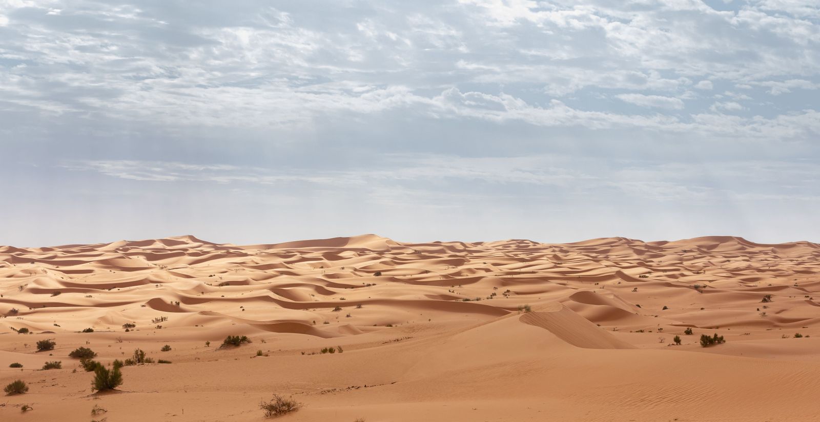
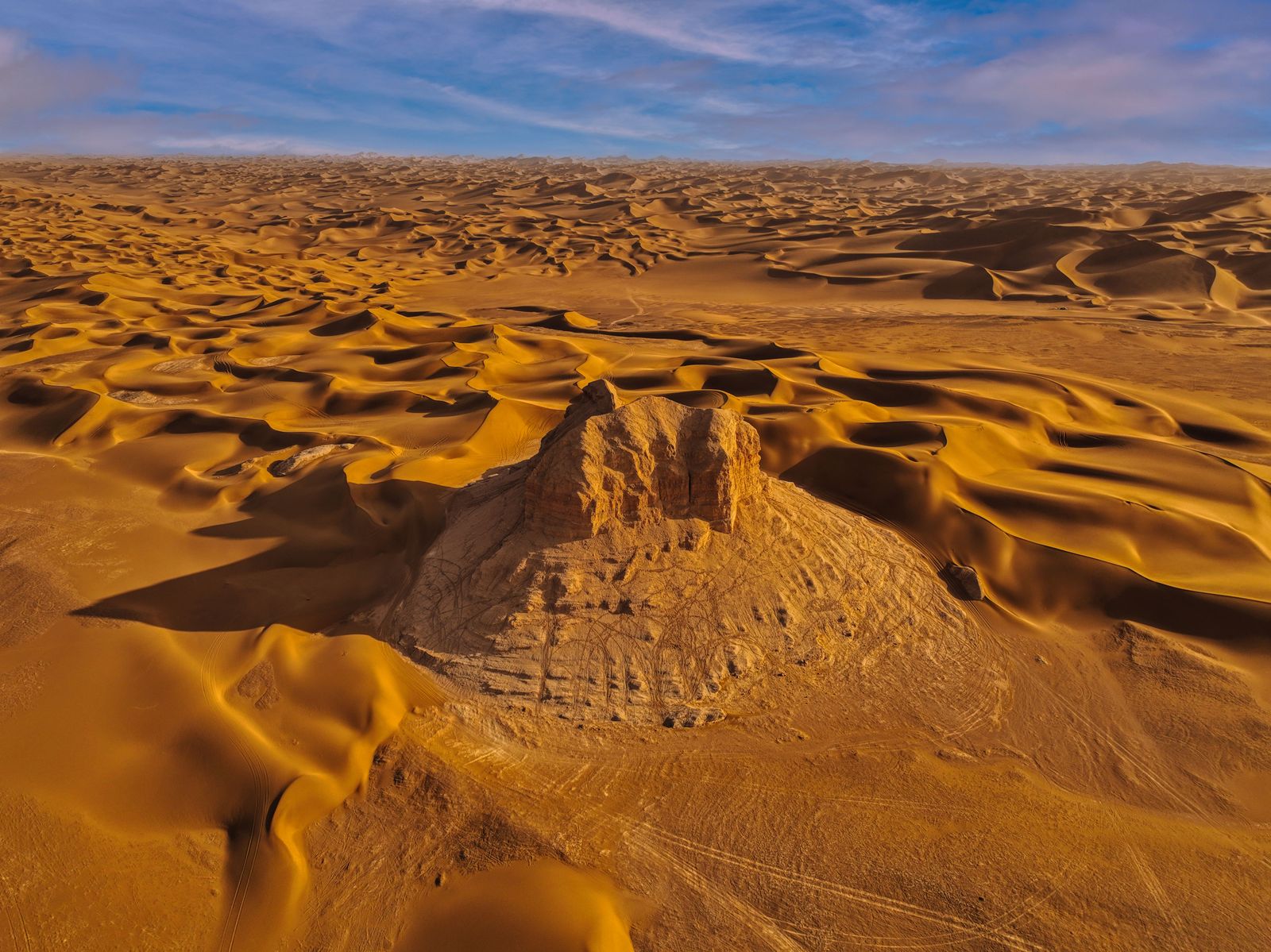
Standing on the Tassili plateau today, the visitor sees wind-scoured sandstone, sand seas stretching to the horizon, summer temperatures that can exceed 45 degrees Celsius. The rivers are gone. The lakes are gone. The hippos and crocodiles are gone from the whole region.
The paintings are still there. Ochre and charcoal on rock, protected in overhangs and shallow caves, showing a herder with a spear, cattle with curved horns, a giraffe caught mid-stride. The pigment has held for thousands of years in a climate that has otherwise erased almost everything else about the world those figures moved through.
Sediment cores tell us the water was there. Ancient DNA tells us the people were there. The paintings are what those people left of themselves, on the walls of a landscape that outlived them in name only.