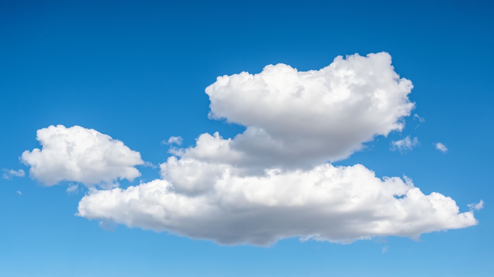
A fair-weather cumulus cloud can look almost insubstantial: a bright patch of white that changes shape while you watch it. Yet a widely used estimate puts the liquid water inside an average one at about 500 metric tonnes, or roughly 1.1 million pounds.
That is where the comparison with 100 elephants comes from. It is memorable, and the arithmetic behind it is reasonable. But it needs one important qualification. The 500 tonnes is not a compact object sitting in the sky. It is a thin scattering of microscopic droplets spread through an enormous volume of moving air.
The cloud does not float in quite the way a boat floats or a balloon rises. Warm, humid air can be buoyant relative to the air around it, while the droplets within that air fall so slowly that small updrafts and turbulence can keep them aloft. A cloud is less like a suspended water tank than a region where air, heat and water are continually being rearranged.
Where the 500-tonne estimate comes from
The calculation starts with two estimates: the cloud’s volume and its liquid water content. The US Geological Survey’s familiar example uses a cumulus cloud about one kilometre long, one kilometre wide and one kilometre deep. That gives it a volume of one billion cubic metres.
A typical liquid water content for that kind of cloud is about 0.5 grams per cubic metre. Multiply 0.5 grams by one billion cubic metres and the result is 500 million grams, or 500,000 kilograms. That is 500 metric tonnes.
The elephant comparison assumes an elephant of about five tonnes. Real elephants vary greatly in mass, just as clouds vary in size and water content, so 100 is a scale comparison rather than a census.
The calculation is useful because human intuition handles a white puff better than a billion cubic metres. But it also depends on where we draw the cloud’s fuzzy edges. That issue has appeared in Lachlan Brown’s earlier writing about the three different answers to the world’s tallest mountain and about why Chimborazo is farther from Earth’s centre than Everest. Before a large number can mean much, we have to say exactly what was measured.
The visible cloud is liquid water, not water vapour
Water vapour is invisible. The white cloud appears when rising air cools enough for some of that vapour to condense onto tiny airborne particles called cloud condensation nuclei. The National Oceanic and Atmospheric Administration’s cloud guide describes the sequence: air rises, lower pressure lets it expand, expansion cools it, and condensation begins once the air becomes saturated.
A typical cloud droplet is only around a hundredth of a millimetre across, according to the UK Met Office. There may be an immense number of droplets in a cumulus cloud, but almost all the space between them is still air. That is why looking through the thinner edge of a cloud is possible, and why 500 tonnes of water can be distributed without producing anything that resembles a lake overhead.
There is also much more mass in the air itself. A cubic kilometre of lower-atmosphere air has a mass on the order of a billion kilograms, depending on its temperature, pressure and humidity. The estimated 500,000 kilograms of liquid water is substantial on a human scale, but it is a small addition to the mass of the whole air volume.
Humid air really can be lighter than dry air
The headline’s reference to denser dry air points to a real and slightly counterintuitive fact. At the same temperature and pressure, humid air is less dense than dry air. A water molecule has a molecular mass of 18, while the nitrogen and oxygen molecules it displaces are heavier. NOAA explains this density difference in its guide to atmospheric moisture and instability.
Sun-warmed, moist air near the ground can therefore rise through cooler, denser surroundings. As it rises and cools, some water vapour condenses. The released latent heat helps the air parcel remain warmer than it otherwise would have been. This buoyancy is part of what builds the rounded towers of a cumulus cloud.
But “the dry air beneath it is denser” is only shorthand. Meteorologists compare a cloudy parcel with the surrounding air at the same height, not simply with whatever happens to be directly underneath it. Condensed droplets add mass, while warmth and remaining water vapour can reduce the parcel’s density relative to its environment. Whether the parcel keeps rising depends on the balance among temperature, humidity, liquid water, pressure and mixing.
Density can move huge volumes without a solid barrier. Brown explored a larger-scale version of that idea in his article on the hidden waterfall beneath the Denmark Strait, where colder, denser water sinks beneath warmer water. The atmosphere is not the ocean, but both are fluids in which small density differences can organize motion on scales that are difficult to see from the surface.
Why the droplets do not immediately fall
Gravity is acting on every cloud droplet. They do fall relative to the air around them. The important point is how slowly.
For droplets near 10 micrometres in radius, the still-air fall speed is less than one centimetre per second, according to a NOAA-hosted Journal of Atmospheric and Oceanic Technology paper. At that scale, air resistance is strong compared with the droplet’s tiny weight. Even a modest upward air current can exceed the droplet’s downward settling speed, while turbulence carries droplets in different directions.
This is why cloud droplets often behave as tracers of the air rather than as tiny raindrops on a direct journey to the ground. In fair-weather cumulus, rising thermals help replenish the cloud. Around its edges, drier environmental air mixes in and droplets evaporate. A cloud can appear to drift as one object even though water is condensing in some places and disappearing in others.
Rain begins only after some droplets or ice particles grow much larger. Collisions and coalescence matter because larger drops have higher terminal speeds. NOAA’s lesson on cloud-droplet collisions describes how the larger droplets fall faster, meet smaller ones and can grow further. Eventually gravity wins by enough to carry precipitation out of the cloud.
A cloud is a process with an outline
The hardest part of the 500-tonne fact is not believing the number. It is giving up the assumption that a cloud is a stable object. Its bright boundary marks where conditions currently allow droplets to exist. Change the temperature or mix in drier air and that boundary moves, even if the surrounding air mass continues on.
NOAA notes that condensation and evaporation are constantly occurring as dry air becomes mixed into a cloud. The familiar cauliflower surface records that activity: newly rising air produces bright bulges, while entrainment erodes other parts. What looks solid from the ground is being rebuilt from moment to moment.
So the apparent contradiction is real only if we imagine 500 tonnes gathered into one place. Spread that water across a cubic kilometre, divide it into microscopic droplets, and place those droplets inside warm, moving air, and the puzzle becomes ordinary atmospheric physics. The cloud has weight. Gravity never switches off. It stays overhead because its water is dispersed through a buoyant, turbulent flow that is continually lifting, settling, condensing and evaporating.