

The Mediterranean looks permanent because human history is short. Rome, Alexandria, Athens, Carthage and Istanbul all belong to a sea that seems older than memory. But in geological time, the basin has a much stranger past: for part of the late Miocene, it was cut off from the Atlantic and drawn down by evaporation until large parts of it became salt flats, brine pools and exposed seabed.
The event is known as the Messinian salinity crisis. In a 2009 Nature paper, Daniel Garcia-Castellanos and colleagues wrote that the Mediterranean became disconnected from the world ocean and was mostly desiccated by evaporation about 5.6 million years ago. Around 5.33 million years ago, they argued, Atlantic water found a way back through the region of the present Strait of Gibraltar and rapidly refilled the basin in the Zanclean flood.
That is the part that still catches the imagination: not just that the Mediterranean dried, but that the return of the sea may have been astonishingly fast. The 2009 model suggested that although low discharges could have lasted for thousands of years at the beginning, 90 percent of the water transfer may have happened in a short interval ranging from a few months to two years. In that scenario, sea level inside the Mediterranean could have risen by more than 10 meters a day at peak times.
A sea turned into a salt basin
The Mediterranean sits in an awkward place on Earth. It is a large, warm, semi-enclosed sea in a dry region, connected to the Atlantic by a narrow gateway. Today, Atlantic water constantly flows in through Gibraltar because evaporation removes so much water from the Mediterranean surface. Without that inflow, the basin would become saltier and lower.
During the Messinian salinity crisis, that gateway was restricted or closed as Africa and Eurasia continued their slow tectonic collision. The result was not an ordinary low tide. The basin lost water faster than rivers and rainfall could replace it. Salt and gypsum were left behind in enormous deposits. Canyons were cut into the exposed margins. Parts of what is now seafloor became land or shallow, hypersaline water.
The scale is hard to keep in proportion. The modern Mediterranean contains about 3.7 million cubic kilometers of water. Even if it never became one empty desert from end to end, a drawdown of hundreds of meters to kilometers would have turned the familiar map inside out. Coastlines would have shifted far from their present positions. Islands would have become high ground above a basin floor. Rivers would have dropped into deep cuts on their way to the remaining water.
The Gibraltar breach
The proposed ending is almost mechanical. Once Atlantic water began overtopping or cutting through the barrier near Gibraltar, flowing water would have eroded the channel, making it deeper. A deeper channel would have allowed more water through. More water would have meant faster erosion. That feedback is what turns a gradual reconnection into a possible megaflood.
Garcia-Castellanos and colleagues used borehole and seismic data to trace an erosion channel more than 200 kilometers long across the Gibraltar region. They interpreted its shape as the scar of floodwater rather than ordinary river erosion. Their model produced discharges around 100 million cubic meters per second at peak intensity, roughly three orders of magnitude larger than the present Amazon River.
That does not mean the basin filled like a bathtub under a single tap at one constant rate. The authors separated a possible long early phase from a much faster final phase. The headline number is the fast phase: most of the transfer, under their model, in months to two years.
Newer evidence from Sicily
The megaflood idea has not rested on one paper alone. In 2024, Aaron Micallef, Giovanni Barreca and colleagues published an open-access study in Communications Earth & Environment reporting onshore and offshore evidence from south-east Sicily. They described more than 300 streamlined erosional ridges, poorly sorted breccia, deformation structures and a 20-kilometer-wide buried shelf channel connecting the ridges with the Noto Canyon.
That matters because Sicily is not Gibraltar. If the western Mediterranean filled first, water would then have spilled across internal barriers into the eastern basin. The Sicilian evidence is part of the case that the flood did not merely enter the Mediterranean at one end, but passed across the central Mediterranean with enough force to leave land-to-sea traces.
The 2024 paper also notes that estimates for the Zanclean megaflood’s discharge and duration have ranged from 68 to 100 sverdrups, with durations between about 2 and 16 years. A sverdrup is one million cubic meters per second. These are model-dependent numbers, but they give the event its proper scale: not a river flood, not a storm surge, but an ocean returning to a basin.
Why “dried up” still needs care
There is a temptation to picture the entire Mediterranean as a clean, empty desert. The evidence is messier. The crisis likely involved changing connections, hypersaline lakes, brine pockets, exposed margins, repeated water-level changes and regional differences across the western and eastern basins. Some questions remain debated, including how far sea level fell in different places and how continuous the isolation from the Atlantic really was.
That caution does not make the story smaller. It makes it more interesting. The Mediterranean did not have to vanish completely for the crisis to be one of the more extreme reorganizations of a major sea in recent geological history. Thick evaporite deposits, erosional surfaces and canyon systems all point to a basin that was profoundly different from the one we know.
The same care applies to the refill. “A few years” is not a direct measurement. It is the result of interpreting geological traces through models of water flow, erosion and past basin shape. The strongest version of the claim is that a rapid final phase is plausible and supported by several lines of evidence, not that every meter of the modern Mediterranean can be timed with calendar precision.
A familiar sea with an unfamiliar past
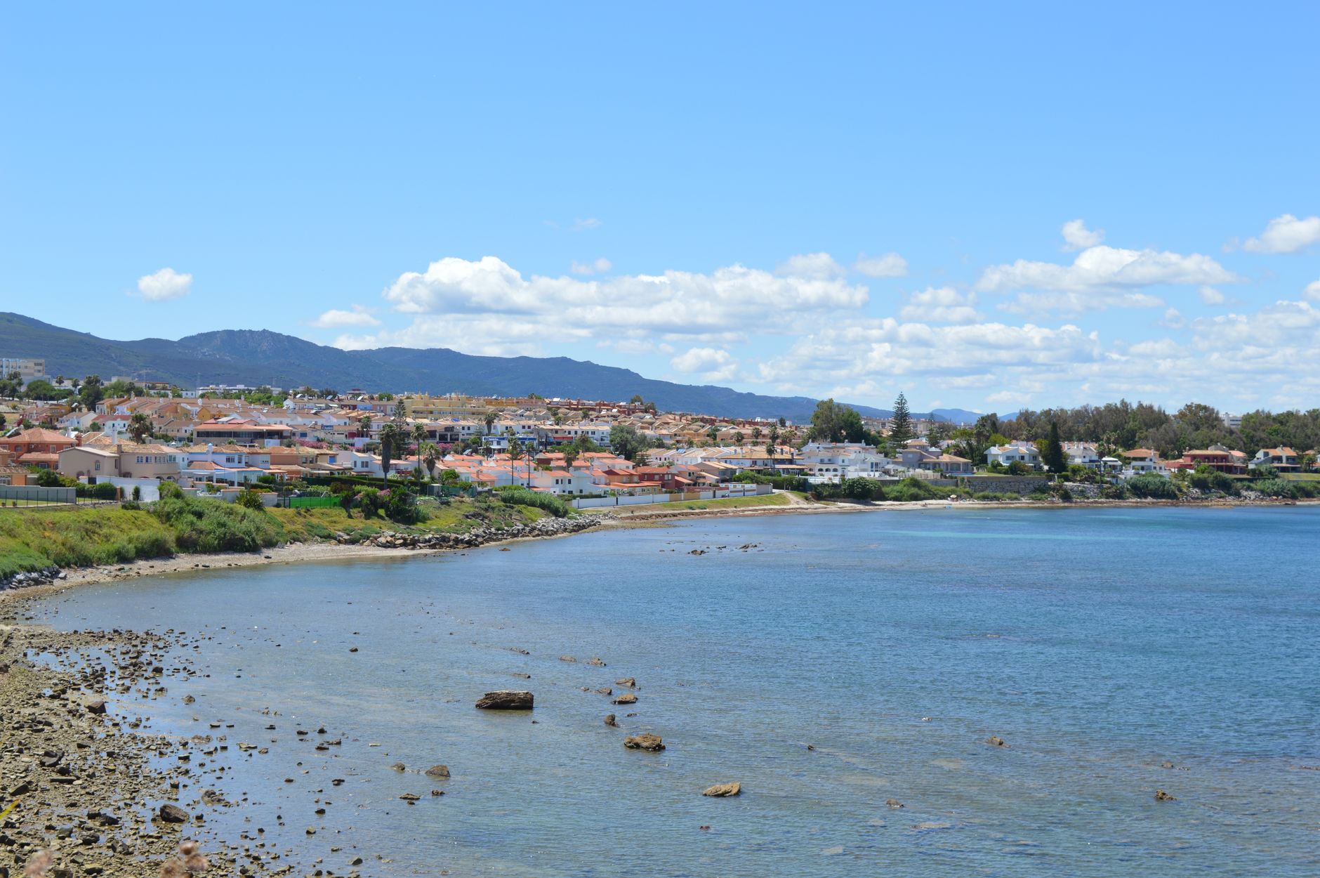
Seen from the shore today, the Mediterranean gives almost no hint of this history. Ferries cross it. Cities face it. Tourists swim in it. Its surface looks ordinary because the processes that made it strange happened on a timescale far outside ordinary memory.
But the basin still carries the evidence. Beneath the seafloor are salts left by a restricted and evaporating sea. Around its margins are cuts and deposits from a time when water levels were radically lower. Near Gibraltar and Sicily are possible scars of the return flow.
That is why the Zanclean flood remains more than a dramatic geological anecdote. It is a reminder that even the most familiar parts of the planet are temporary arrangements. A sea can close. A basin can dry. And when the ocean finds its way back in, geography can change faster than our intuition expects.