Beneath mottled shells
of dreary, setting suns
we bury instruments
in living sands;
digital treasures to map
the edges of existence.
Caressing your carapace
as we wave you from our ships;
deep-sea buoys to dredge
the ocean
of her tempestuous secrets.
Back on land we watch
as you coast the currents,
tiny flecks of transmissions
that light up our screens
as they glide though gradients
like sparrows mid-flight.
Ears to the ground
so that we might hear
the satellite’s echoes,
joining dots to paint
your portrait on a cold
and stormy night.
You scatter before the storm,
sailing clear of expectations;
our algorithmic patterns
distorted by the layered
meaning of your sunken homes.
Drifting beneath its gaze
you steer ever northward,
charting a path to
clear waters
as we surf unseen
in your wake.

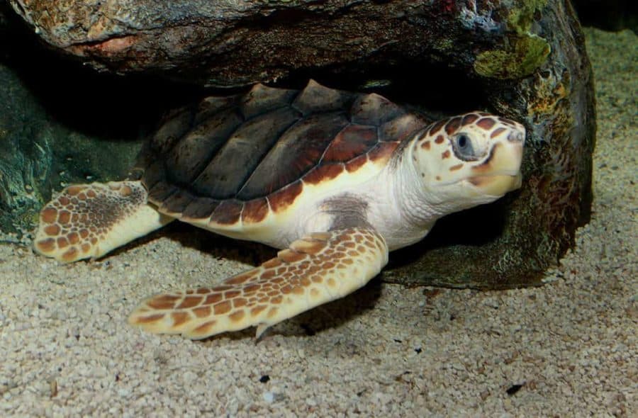
This poem is inspired by recent research, which has found that loggerhead sea turtles were able to detect and respond to a major hurricane in the Northwest Atlantic Ocean.
During the Atlantic hurricane season (which runs from the beginning of June to the end of November), the oceanography in the Mid-Atlantic Bight (a coastal region in the northwest Atlantic Ocean, on the East Coast of the United States, running from Massachusetts to North Carolina) is often difficult to model because a cold pool of water forms beneath the warm, surface layer of the ocean. For example, the forecast for Hurricane Irene, which occurred on the 28th August 2011, predicted high wind speeds that would have kept it along its projected path, but instead, the cooled surface waters of the Mid-Atlantic Bight decreased the strength of the storm before it made landfall, affecting its path and causing the storm to hit areas that were unprepared. In order to better account for the oceanography in the Mid-Atlantic Bight (and other oceanic areas with stratified environments), more measurements are needed throughout the whole of the water column (a hypothetical cylinder of water extending from the surface to the bottom of the ocean). This is where sea turtles can help.
In early June 2011, researchers placed satellite tags on 26 loggerhead sea turtles in the Mid-Atlantic Bight. Ocean temperature data recorded by the turtles’ satellite tags are consistent with observations from weather buoys in the region, and depending on how many tags are deployed, data from these turtles can actually cover a far more extensive area than buoys and other traditional data sources. Just over two months after these turtles were tagged, Hurricane Irene passed over the region; with 18 of the tagged turtles directly in the path of the hurricane, researchers were able to track changes in the turtles’ behaviours and movements prior to, during, and after the hurricane. Most of the turtles were observed to move northward during the hurricane, aligning themselves with the surface currents to potentially conserve energy. After the hurricane, longer dive durations were also observed for turtles that stayed in their pre-storm foraging areas, with some such dives lasting an hour or more, compared to less than 30 minutes for a typical dive before the storm. Turtle behaviour did not return to pre-storm behaviour until at least two weeks after Hurricane Irene had passed, indicating that the turtles were severely affected by the storm. Furthermore, by providing more measurements of water temperatures throughout the water column, both prior to and during a storm, these tagged turtles could help improve oceanographic models, and potentially lead to an improvement in hurricane forecasting over the region.
If our reporting has informed or inspired you, please consider making a donation. Every contribution, no matter the size, empowers us to continue delivering accurate, engaging, and trustworthy science and medical news. Independent journalism requires time, effort, and resources—your support ensures we can keep uncovering the stories that matter most to you.
Join us in making knowledge accessible and impactful. Thank you for standing with us!