
In the summer of 2025, an international team lowered drill pipe through the Atlantic off Massachusetts and into layers of sand and mud beneath the seafloor. During nine pumping tests, the researchers brought up more than 50,000 litres of formation fluid. Some of the groundwater had salinity around or below one practical salinity unit, compared with roughly 35 for seawater.
That is remarkably fresh water to find tens of kilometres offshore, underneath an ocean.
The discovery confirms that extensive freshened groundwater occupies the New England continental shelf. It does not yet prove that one uniform, drinkable reservoir runs uninterrupted from New Jersey to Maine, and it does not turn the water into a ready supply for cities. The regional extent and volume combine the new drilling with older boreholes, electromagnetic surveys and models.
The most important question remains unanswered: when did the water enter the ground? It may include rain or meltwater forced into exposed shelf sediments during the last Ice Age. Some could instead be much younger rain, perhaps only centuries old, still moving slowly from coastal aquifers beneath the sea. A single sample may even contain both.
A half-century trail led to the 2025 drilling
Scientists did not first learn about this water in 2025. Drilling along the United States Atlantic margin in the 1960s and 1970s unexpectedly encountered low-salinity pore water beneath the ocean. The holes had been made for geological and resource surveys, so they offered scattered clues rather than a coordinated picture of an aquifer.
A major advance came in 2015, when researchers towed electromagnetic instruments offshore New Jersey and Martha’s Vineyard. Salty water conducts electricity far better than fresh water. Measuring how controlled electromagnetic signals travelled through seafloor sediments therefore allowed the team to infer broad resistive zones containing low-salinity groundwater.
The resulting 2019 study in Scientific Reports imaged laterally continuous aquifers extending as much as 90 kilometres offshore. Its authors concluded that a system spanned at least 350 kilometres of coastline from New Jersey toward Martha’s Vineyard and probably continued beyond the survey boundaries.
Electromagnetic imaging is powerful, but it does not replace a bottle of water. Electrical resistivity is influenced by sediment and porosity as well as fluid salinity. Direct drilling was needed to measure the water, the pressure and the rocks holding it.
Expedition 501 sampled a narrow part of a large system
IODP³-NSF Expedition 501 drilled six boreholes at three sites south of Nantucket and Martha’s Vineyard. The USGS field record places the sites in water depths of 41 to 54 metres. The drilling penetrated as much as nearly 400 metres below the seabed.
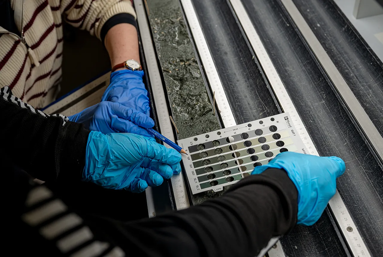
Offshore work lasted 74 days between May and early August 2025. The team recovered 718 sediment cores totalling about 872 metres. It also carried out nine pumping tests at distinct locations and depths, a demanding operation because the researchers had to isolate a target layer and pump long enough to clear fluid introduced during drilling.
An official expedition report says nearly 50,000 litres were pumped. A later operations summary refined the accounting: more than 50,000 litres of formation fluid passed through the tests, while more than 10,500 litres were retained as water samples. Scientists collected 1,910 samples in total, including 167 specifically classified as groundwater samples.
This distinction does not diminish the feat. The headline volume describes water moved through the pumping system, not 50,000 litres packed into laboratory bottles.
“Freshened” does not mean every sample was drinkable
Seawater has a salinity near 35 practical salinity units. Expedition scientists reported that some groundwater was around or even below one unit, equivalent to roughly one gram of dissolved salts per litre. Other layers were more saline. The system is therefore better described as offshore freshened groundwater than as a single freshwater lake.
The water is not sitting in a giant open chamber. It fills pores between grains in buried sediment, much as ordinary groundwater fills the connected spaces in sand and rock on land. Sandy layers can transmit water and act as aquifers. Mud and clay can form less permeable aquitards that slow mixing and help preserve sharp salinity differences.
The Expedition 501 scientific prospectus deliberately targeted the fresh end member, the freshwater-seawater transition and a site expected to be dominated by seawater. This transect lets researchers ask not only where fresh water exists, but what controls its boundaries.
Low salinity alone does not establish drinking-water safety. “Fresh” in a hydrogeological study is a salinity classification, not permission to pipe the water ashore.
The New York City comparison is scale, not supply
The 2019 electromagnetic study estimated about 2,800 cubic kilometres of low-salinity groundwater beneath the mapped and inferred Atlantic shelf system. Other summaries use lower estimates depending on the assumed boundaries and salinity cutoff. Either way, the implied volume is enormous, readily comparable with many centuries of New York City’s present water consumption.
But Expedition 501 did not drill continuously from New Jersey to Maine. Its three sites formed a roughly 45-kilometre transect off Massachusetts. The broader regional picture comes from linking those new cores with earlier holes, onshore wells, electromagnetic images and numerical models. “Stretching toward Maine” is a plausible regional interpretation, not a line of sampled water traced metre by metre.
Stored volume is also different from recoverable yield. Much of the water may sit in layers that transmit fluid slowly. Pumping one section could lower pressure, draw surrounding seawater inward or cause fresher water to rise and mix with saltier layers. Infrastructure would have to operate offshore, and even mildly brackish water could require treatment.
A global review of offshore freshened groundwater emphasizes that these systems are widespread but poorly constrained. Mapping their volume is only one step; understanding recharge, connectivity and environmental effects is what determines whether any part can be treated as a resource.
Centuries old and Ice Age old are both plausible
During the last glacial period, sea level stood far below its modern position and much of today’s continental shelf was dry land. Rain could infiltrate exposed sand. The Laurentide Ice Sheet could also press meltwater into aquifers beneath its enormous weight, while lakes dammed against the ice provided another possible source.
When the ice melted and sea level rose, marine water flooded the shelf. Layers of mud may have slowed the return of salt, leaving freshened water stranded beneath the new seafloor for thousands or tens of thousands of years.
Yet the 2019 electromagnetic work also found evidence consistent with a modern connection between onshore and offshore aquifers. If that connection remains active, water that fell as rain one or two centuries ago could have travelled offshore through permeable layers. Co-chief scientist Brandon Dugan used that timescale as an example of what “young” recharge might mean, not as an age already measured for the new samples.
Dating groundwater is rarely as simple as assigning one birthday. Flow paths mix, diffusion moves dissolved substances between layers and a pumped sample can combine waters with different residence times. Researchers can use radiocarbon, noble gases, stable isotopes and other environmental tracers to test for recent recharge, glacial meltwater and long isolation.
The initial February 2026 confirmation said age models and further analyses were still being developed. Expedition data and samples also remain subject to the programme’s standard research moratorium before broad public release. As of August 2026, the origin question is active science rather than a settled Ice Age date.
A buried reserve is not automatically a water solution
If much of the system is glacial, large-scale pumping would mine a finite archive that does not renew on a human timescale. If younger water dominates near shore, scientists would still need to measure how slowly it is recharged and whether pumping would divert water from coastal wells or ecosystems.
ScienceBlog’s recent look at ancient groundwater beneath the Sahara makes the same point: a large number for storage cannot be converted directly into a sustainable pumping rate. The age distribution changes what responsible use would mean.
Offshore groundwater can also seep naturally into the ocean, carrying nutrients, carbon, metals and microbes. Changing its pressure or flow could affect seafloor chemistry and coastal ecosystems. Ownership and jurisdiction would add further complications to engineering and treatment costs.
The honest importance of Expedition 501 is therefore not that it found an emergency tap for New York. It obtained direct, layered samples from a groundwater system previously understood mostly through indirect evidence. The 50,000 litres moved through its pumps have turned a broad electrical signal beneath the Atlantic into water that laboratories can date and analyse.
Whether that water proves to be mostly a relic of the last Ice Age, a slowly renewed extension of modern coastal aquifers, or a mixture of both will determine what the reservoir means. For now, its most valuable role may be as an archive of how glaciers, shorelines and groundwater moved together as the map of North America changed.