Skip to content
ScienceBlog.com
  • Featured Blogs
    • EU Horizon Blog
    • ESA Tracker
    • Experimental Frontiers
    • Josh Mitteldorf’s Aging Matters
    • Dr. Lu Zhang’s Gondwanaland
    • NeuroEdge
    • NIAAA
    • SciChi
    • The Poetry of Science
    • Wild Science
  • Topics
    • Brain & Behavior
    • Earth, Energy & Environment
    • Health
    • Life & Non-humans
    • Physics & Mathematics
    • Social Sciences
    • Space
    • Technology
  • Our Substack
  • Follow Us!
    • Bluesky
    • Threads
    • FaceBook
    • Google News
    • Twitter/X
  • Contribute/Contact

Epidemic forecasting

A computer-generated image depicting a stylized world map with the Indian Ocean highlighted in shades of red and orange to represent temperature anomalies. Superimposed on the map are silhouettes of mosquitoes, representing the global threat of dengue.

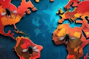
Indian Ocean Temperature Anomalies Could Help Predict Global Dengue Epidemics

Substack subscription form sign up

Comments

  • Jessica Butler on Weight Loss Drug Revolution Could Leave Britain’s Poorest Patients Behind
  • Simon on A New Theory Says DMT Entities Might Be Real, and Proposes How to Test It
  • Sue Ann Hayes on Hidden Nuclear Protein Fuels Pancreatic Cancer’s Deadly Aggression
  • Curtis Webber on The GPS-Killer? This Quantum Device ‘Feels’ Motion Like a Brain—Down to the Atomic Level
  • Ran on How the Age You First Had Sex Could Shape How You Age Decades Later
© 2026 ScienceBlog.com | Follow our RSS / XML feed