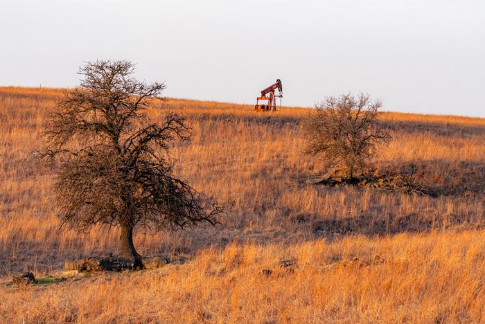
Using artificial intelligence to analyze old topographic maps, researchers have discovered over 1,300 previously unknown abandoned oil and gas wells across California and Oklahoma, highlighting a novel approach to address this widespread environmental hazard.
Published in Environmental Science & Technology | Estimated reading time: 4 minutes
Scattered across the United States are hundreds of thousands of abandoned oil and gas wells with no documented location or responsible operator. These “undocumented orphaned wells” (UOWs) pose significant environmental risks, releasing methane—a potent greenhouse gas—and potentially contaminating groundwater. Now, researchers have developed an innovative method using deep learning to identify these lost wells by analyzing historical maps.
The research team trained their AI system on maps from the U.S. Geological Survey’s Historical Topographic Map Collection, which contains about 190,000 maps published between 1884 and 2006. They focused on standardized maps called quadrangles that use consistent symbols for various features, including hollow black circles to mark oil and gas wells. The AI achieved 98% precision in identifying these well symbols.
Applying their system to four counties with long histories of oil production—Kern and Los Angeles in California, and Oklahoma and Osage in Oklahoma—the team uncovered 1,301 potential undocumented wells. The method identifies wells shown on historical maps but missing from modern databases, with locations accurate to within about 10 meters of their actual positions.
To verify their findings, the researchers conducted field investigations using magnetometers to detect metal well casings buried underground. Of 27 sites investigated, they confirmed the presence of 15 wells. Additionally, satellite imagery analysis revealed visible well-related structures at 29 locations in Oklahoma County alone.
The discovery has significant implications for environmental protection. Many of these wells were drilled before state regulatory agencies were established in the early 1900s, leaving no paper trail of their locations. Without proper documentation, these wells can leak methane and other pollutants undetected for decades. Current estimates suggest between 310,000 and 800,000 undocumented orphaned wells exist across the United States.
This new method represents the first systematic approach to identifying orphaned wells at county-wide scales. The researchers note that their count likely underestimates the true number of undocumented wells, as some may have been buried before the maps were created or built and dismantled between map publications. Nevertheless, the technique provides a crucial starting point for environmental agencies to locate and address these hazards.
Glossary
- Undocumented Orphaned Wells (UOWs): Oil and gas wells with no known operator that have limited or no documentation with regulatory authorities.
- U-Net: A specialized type of neural network designed for image analysis and feature detection.
- Quadrangles: Standardized topographic maps covering 7.5 minutes of longitude and latitude at 1:24,000 scale.
- Magnetometer: An instrument that measures magnetic fields, used to detect metal well casings underground.
Test Your Knowledge
What is the estimated number of undocumented orphaned wells in the United States?
Between 310,000 and 800,000 wells are estimated to exist across the United States with no documentation.
What environmental risks do orphaned wells pose?
These wells can release methane (a powerful greenhouse gas) into the atmosphere and potentially contaminate groundwater with oil, brine, and other pollutants.
How accurate was the AI system’s well detection capability?
The U-Net model achieved 98% precision in identifying well symbols on the historical maps, with field verification showing locations accurate to within about 10 meters.
Why might some potential UOWs identified in the study actually be documented wells?
Location errors in official databases or topographic maps, combined with the study’s 100-meter buffer zone for matching wells, means some “undocumented” wells might actually be documented wells with incorrect recorded locations.
Enjoy this story? Subscribe to our newsletter at scienceblog.substack.com.
If our reporting has informed or inspired you, please consider making a donation. Every contribution, no matter the size, empowers us to continue delivering accurate, engaging, and trustworthy science and medical news. Independent journalism requires time, effort, and resources—your support ensures we can keep uncovering the stories that matter most to you.
Join us in making knowledge accessible and impactful. Thank you for standing with us!

